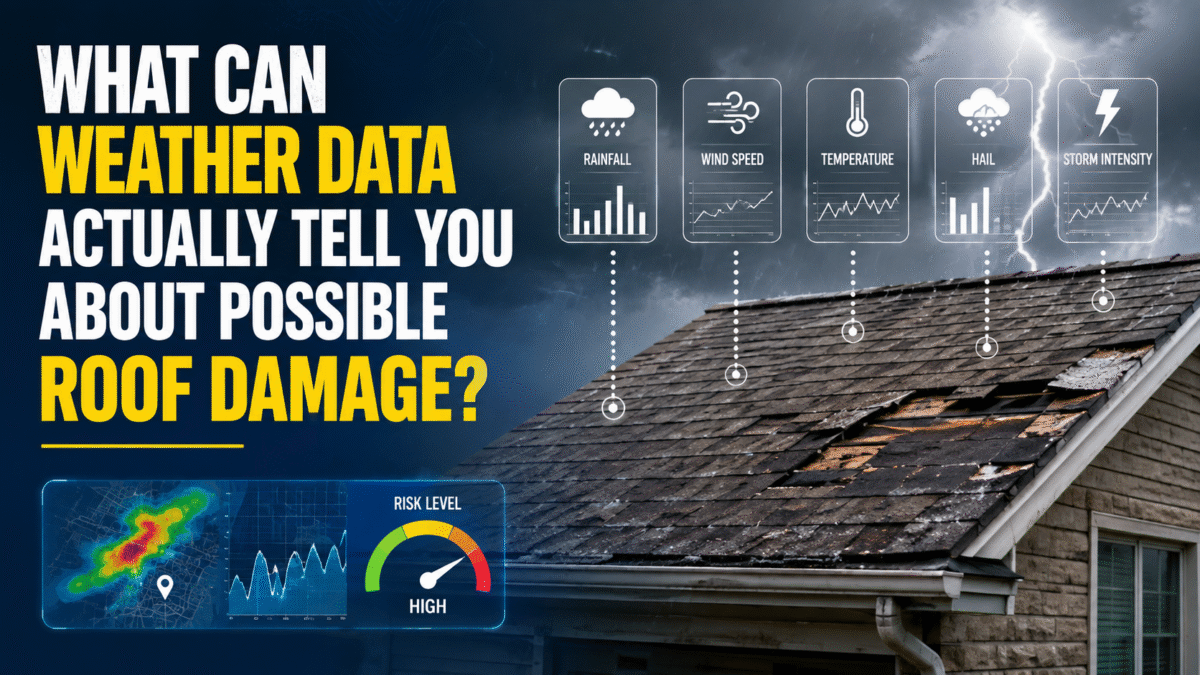
After a strong wind or hailstorm, homeowners often turn to weather maps and storm reports to answer one question:
Did this storm damage my roof?
Weather data can help identify when severe weather occurred, whether strong winds were measured nearby, whether hail was reported, and whether radar indicated a hail-producing storm near the property.
What weather data cannot do by itself is determine the condition of one specific roof.
A severe-thunderstorm warning may cover several communities. A wind gust may be measured miles away. A radar product may estimate hail within a storm without measuring hail on the ground. Each source can contribute useful information, but each must be understood in context.
The strongest evaluation combines weather history with the homeowner’s timeline, photographs, property records, and a qualified roof inspection.
Severe-Thunderstorm Warnings
According to the National Weather Service’s severe-weather criteria, a severe thunderstorm is generally one capable of producing wind gusts of at least 58 mph, hail at least one inch in diameter, or both.
Warnings may be issued based on radar, instrument measurements, trained-spotter reports, or a combination of available evidence.
A warning can help establish that:
- A severe storm affected or approached the area
- Damaging wind or large hail was possible
- The property was inside or near the warning polygon
- A particular date deserves closer review
However, a warning does not mean that every property within the polygon experienced the same conditions.
Thunderstorms are rarely uniform. The strongest wind or hail may follow a relatively narrow path. One neighborhood may experience damaging gusts while another part of the warning area receives mostly rain.
A warning therefore identifies an area threatened by severe weather. It does not measure the exact wind speed or hail size at every address.
Local Storm Reports
A National Weather Service Local Storm Report, commonly called an LSR, is a preliminary report that relays significant weather information received from sources such as trained spotters, emergency personnel, public officials, weather stations, media organizations, and members of the public.
These reports may describe:
- Hail size
- Measured or estimated wind speeds
- Downed trees
- Damaged power lines
- Roof or structural damage
- Flooding
- Tornadoes
Because an LSR normally includes a time and location, it can provide more localized information than a broad warning. National Weather Service storm-report records may also include the event’s location, time, magnitude, and reported damage.
For example, a report of one-inch hail two miles northwest of a property may support the conclusion that hail occurred nearby. If radar shows the storm then moving toward the address, the report becomes more relevant.
It still does not prove that the same hail size fell at the property.
Hail size and thunderstorm wind can vary over short distances. Reports may also be based on measurements, estimates, damage descriptions, or observations made under difficult conditions.
When reviewing a storm report, consider:
- Its distance and direction from the property
- The reported time
- Whether the value was measured or estimated
- The source of the report
- The storm’s direction of movement
- Whether other reports support the same event
Local Storm Reports are useful pieces of evidence, but they should be reviewed alongside other sources rather than treated as property-level measurements.
Weather-Station Measurements
Official weather stations can provide measured wind speeds at known locations and times.
A station record may show that a peak gust of 61 mph occurred five miles from a home during the storm. That is useful evidence that strong wind occurred nearby.
The measurement still applies to the station, not automatically to the property.
Wind conditions can differ because of:
- The storm’s exact path
- Localized downbursts
- Trees, buildings, and terrain
- The station’s equipment height and exposure
- Distance from the strongest part of the storm
- Differences between open airport terrain and residential areas
Official climate summaries distinguish a station’s peak gust as the strongest gust measured at that observing location during the relevant period.
A nearby measurement is most useful when the station location, observation time, distance from the property, and storm movement are all clearly documented. It should not be presented as though an instrument recorded the wind directly at the roof.
Radar-Based Hail Information
Weather radar helps meteorologists evaluate a storm’s intensity, precipitation, movement, wind patterns, and potential for hail. The NOAA National Severe Storms Laboratory explains that Doppler radar examines energy reflected by precipitation and can help identify heavy rain, hail, and wind behavior within a storm.
NOAA’s Multi-Radar/Multi-Sensor system, or MRMS, combines data from multiple radars with surface and upper-air observations, lightning information, satellite observations, and weather models. It produces products used to analyze hail, wind, tornadoes, precipitation, and other hazards.
One of those products is MESH, or Maximum Estimated Size of Hail. NOAA describes it as a Maximum Estimated Hail Size product that can assist with warning decisions and post-event hail verification. Its operational product tables likewise identify MESH as “Maximum Estimated Size of Hail.”
Radar-based hail information can help identify:
- Whether a storm had characteristics associated with hail
- Where the storm’s strongest section traveled
- When it passed near an address
- Areas where hail was more likely
- How the storm changed over time
This can be especially valuable where few ground reports exist.
However, radar does not measure a hailstone after it lands on a particular roof. It analyzes storm characteristics and produces an estimate.
Radar information is therefore most useful when compared with nearby reports, warning information, homeowner observations, photographs, and inspection findings.
Why Address-Level Research Is More Useful
County-wide and ZIP-code searches can identify general storm activity, but both areas may contain many neighborhoods.
Address-level research allows a property to be compared more closely with:
- Warning boundaries
- Nearby hail and wind reports
- Official weather stations
- Radar-estimated storm paths
- Storm timing and direction
A weather-history resource such as StormAuditor can organize historical warnings, measured observations, storm reports, and radar-based wind and hail information around a searched address.
This can make the research easier to review, but it does not change the role of the information. Weather history provides context and helps identify relevant dates. It does not independently establish that roof damage occurred.
What a Roof Inspection Adds
Weather records describe the storm. A roof inspection documents the property.
A qualified roofing professional may examine:
- Missing, lifted, or displaced shingles
- Cracked or broken tiles
- Flashing and roof penetrations
- Pipe boots, vents, and skylights
- Valleys, eaves, and roof edges
- Gutters and downspouts
- Soft-metal components
- Attic staining or moisture
- Previous repairs
- Installation defects
- Long-term deterioration
The inspection should consider more than one possible cause.
A leak noticed during a storm may be related to newly displaced roofing material, failed flashing, wind-driven rain, clogged drainage, deteriorated sealant, improper installation, condensation, or an opening that existed before the storm.
The timing of a leak is important, but timing alone does not establish its cause.
Presenting Weather Findings Clearly
Weather findings are most useful when the source, location, timing, and limitations are explained together.
A useful wind summary might read:
The property was within a severe-thunderstorm warning during the afternoon. A station approximately five miles away recorded a peak gust of 63 mph, while a Local Storm Report documented downed tree limbs about two miles west of the address. Radar showed the strongest portion of the storm moving east toward the neighborhood.
A useful hail summary might read:
Radar indicated a hail-producing storm near the neighborhood. One-inch hail was reported approximately three miles northwest of the property shortly before the storm moved across the area.
This approach gives the reader enough information to understand how the evidence relates to the property. It is stronger than simply assigning the highest nearby wind speed or hail estimate directly to the home.
Common Storm-Research Mistakes
One common mistake is relying on the largest report in the county rather than the report most closely aligned with the property and storm path.
Another is using only one source. A warning, station observation, Local Storm Report, or radar estimate can each contribute useful information, but the strongest review compares several sources.
Homeowners should also avoid assuming that the most recent storm caused a newly discovered issue. The condition may relate to an earlier storm, installation problems, prior repairs, or gradual deterioration.
Most importantly, weather research should not replace an inspection. Weather data cannot identify every failed flashing detail, loose fastener, leak path, or deteriorated component.
A Practical Review Process
A homeowner or roofing professional can organize the research by:
- Recording when the problem was first noticed.
- Identifying storms within the relevant timeframe.
- Reviewing National Weather Service warnings.
- Locating nearby hail and wind reports.
- Checking measured weather-station observations.
- Reviewing available radar-based information.
- Recording the source, time, location, and distance of each item.
- Photographing visible conditions safely.
- Arranging a qualified roof inspection.
- Comparing the weather timeline with the property findings.
Final Thoughts
Weather data can help determine whether severe weather occurred near a property, when it happened, and what conditions were measured, reported, or estimated in the surrounding area.
What it cannot do alone is determine the condition of a specific roof.
Warnings identify areas threatened by severe weather. Storm reports document observations. Weather stations record conditions at fixed locations. Radar estimates what may have been happening within the storm. A roof inspection identifies what is actually present at the property.
Used together, these sources can help homeowners narrow possible storm dates, prepare for an inspection, and have a more informed conversation with a roofing professional.
Author Bio
Connor Kennon is the founder of StormAuditor, an address-based weather-research platform that helps homeowners, roofing professionals, and other users review historical wind, hail, warnings, measured observations, and storm reports. His background includes property-insurance claim research, contractor documentation, and public relations.
Sources for the Submitted Draft
- National Weather Service, severe-thunderstorm warning criteria.
- National Weather Service, Preliminary Local Storm Reports.
- NOAA National Severe Storms Laboratory, Multi-Radar/Multi-Sensor system.
- NOAA National Severe Storms Laboratory, hail detection and MESH.